Outcome
Faster Issue Discovery
Spot irrigation inconsistency and stress patterns before they escalate into expensive fixes.
Real-World Demo Experience
This page shows the same structured approach used to deliver clarity, reduce uncertainty, and help you make better land decisions faster.
What Owners Want Most
This demo is designed to answer those three needs quickly.
Outcome
Spot irrigation inconsistency and stress patterns before they escalate into expensive fixes.
Outcome
Use clear visuals to decide exactly where labor and budget should go first.
Outcome
Get practical next steps, not vague data dumps.
You share location, acreage, and what concerns you most.
Flights are planned around problem detection, not random footage.
You receive usable findings and practical next actions.
Sample imagery is shown below. Your final package includes visuals from your own land.

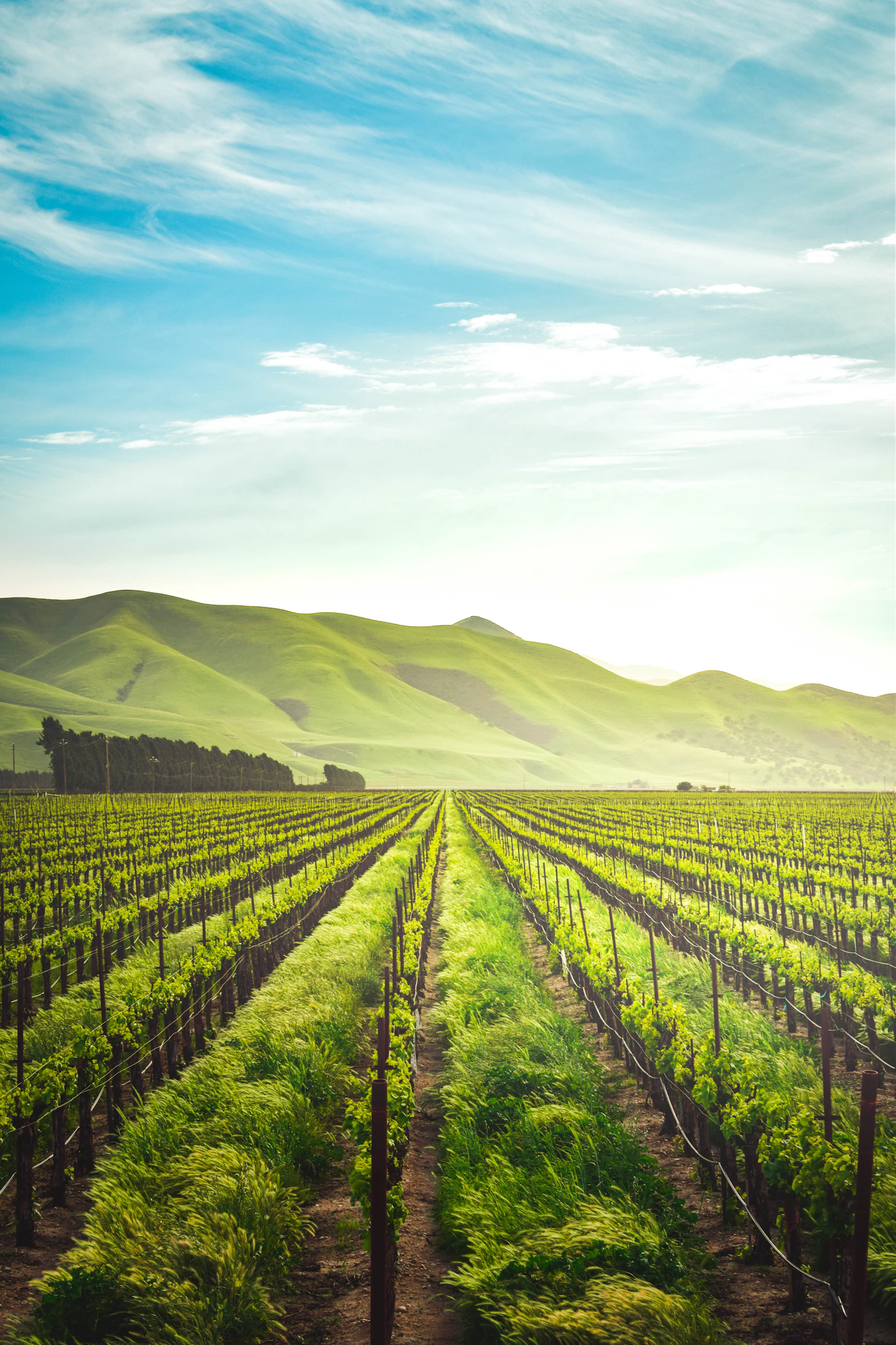
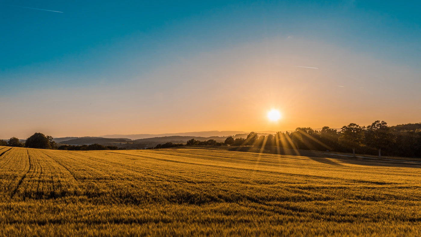
Sample footage shown below. Site visits include original captures from your property.
You get a focused recommendation based on your land goals, concern areas, and timeline.
No. It is also valuable for ranches, mixed-use properties, and land owners managing wide areas.
Scheduling depends on weather and location, but requests are reviewed quickly to lock in the best window.
Limited Weekly Availability
Get a practical inspection recommendation first, then decide your next step with confidence.
Farms and ranches needing broad aerial visibility
Landowners managing irrigation and risk zones
Operators who want clear evidence before investing in fixes
Teams that need practical reports, not generic footage